Course Introduction
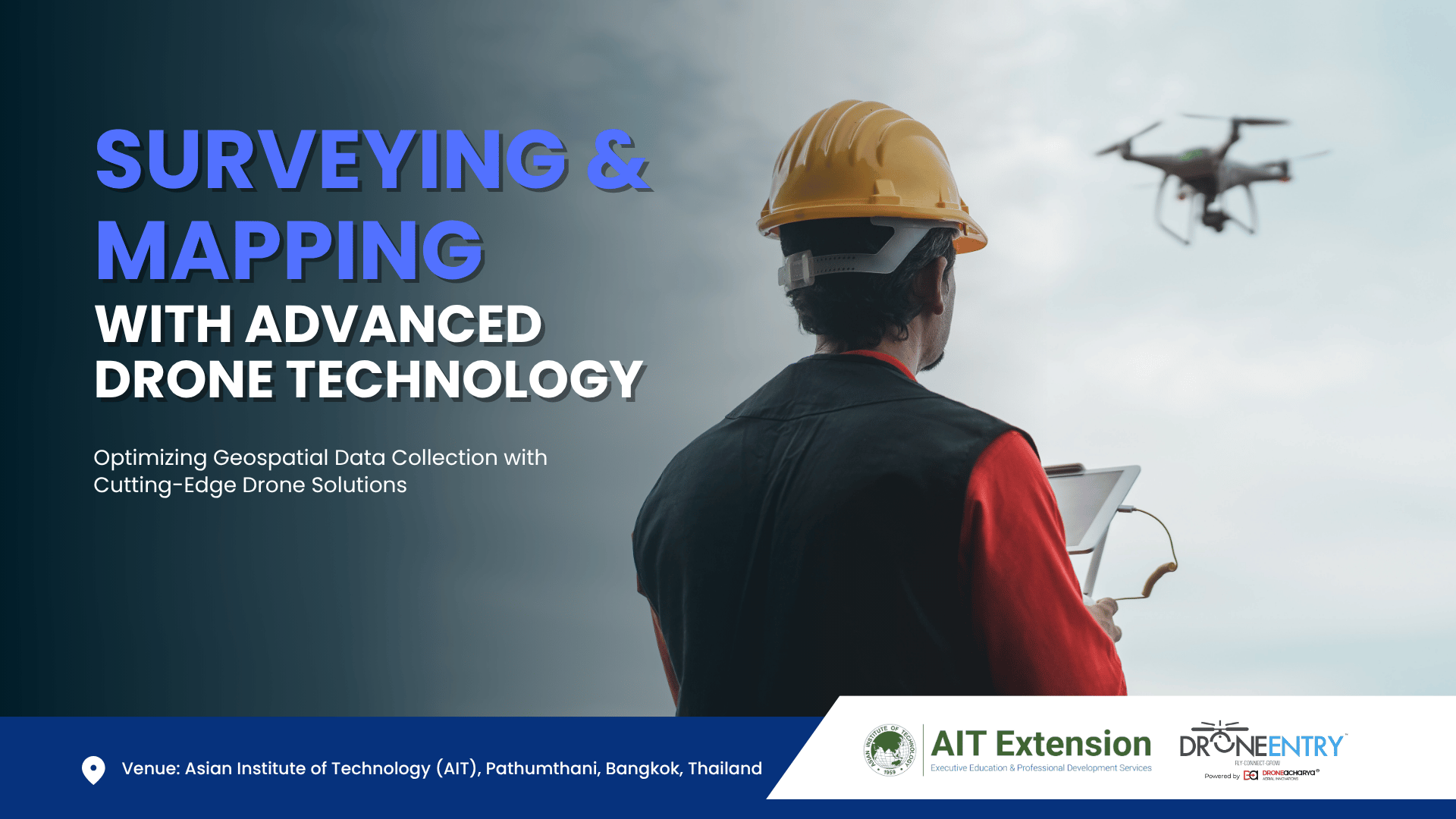
Surveying & Mapping with Advanced Drone Technology
Optimizing Geospatial Data Collection with Cutting-Edge Drone Solutions
Venue: Asian Institute of Technology (AIT), Pathumthani, Bangkok, Thailand
This specialized training equips participants with hands-on expertise in using drones for high-precision surveying and mapping. The course covers data acquisition, processing, and analysis using advanced drone technology, ensuring efficient and accurate geospatial applications.
What’s in It for You? (Learning Outcomes)
- 1) Understand drone technology, sensors, and payloads for surveying and mapping.
- 2) Learn aerial data collection techniques like photogrammetry, LiDAR, and multispectral imaging.
- 3) Develop skills in geospatial data processing, 3D modeling, and DEM using industry software.
- 4) Ensure mapping accuracy with ground control points (GCPs) and error correction.
- 5) Learn drone regulations, safety protocols, and compliance standards for legal operations.
- 6) Gain hands-on experience in flight planning, drone piloting, and real-world mapping projects.
Who Should Attend?
1) Surveyors, engineers, and GIS professionals
2) Urban planners and land management officials
3_ Construction and infrastructure specialists
4) Environmental scientists and researchers
5) Mining and agriculture professionals
TRAINING PROGRAMS ON DRONE APPLICATIONS
Empowering Industries with Cutting-Edge Drone Technology
Offered by AIT Extension in Collaboration with Drone Entry
1) Surveying & Mapping with Advanced Drone Technology
Master drone-based photogrammetry, LiDAR, and GIS for precise mapping.
2) Drones in Precision Agriculture & Food Security
Optimize farming with drone-based crop monitoring, spraying, and analytics.
3) Drones in Disaster Management & Preparedness
Deploy drones for search & rescue, disaster mapping, and emergency response.
4) Drones in Asset Inspections & Structural Monitoring
Use drones for industrial inspections, defect detection, and predictive maintenance.
5) Aerial Cinematography & Photography with Drones
Capture stunning aerial visuals with professional drone piloting and editing.
6) Design Thinking for Drone Applications
Innovate UAV solutions through design thinking and industry-driven applications.
Why Train with AIT Extension & Drone Entry?
- 1) Hands-on training with cutting-edge drone technology
- 2) Expert-led sessions with real-world applications
- 3) Comprehensive industry-focused curriculum