Course Introduction
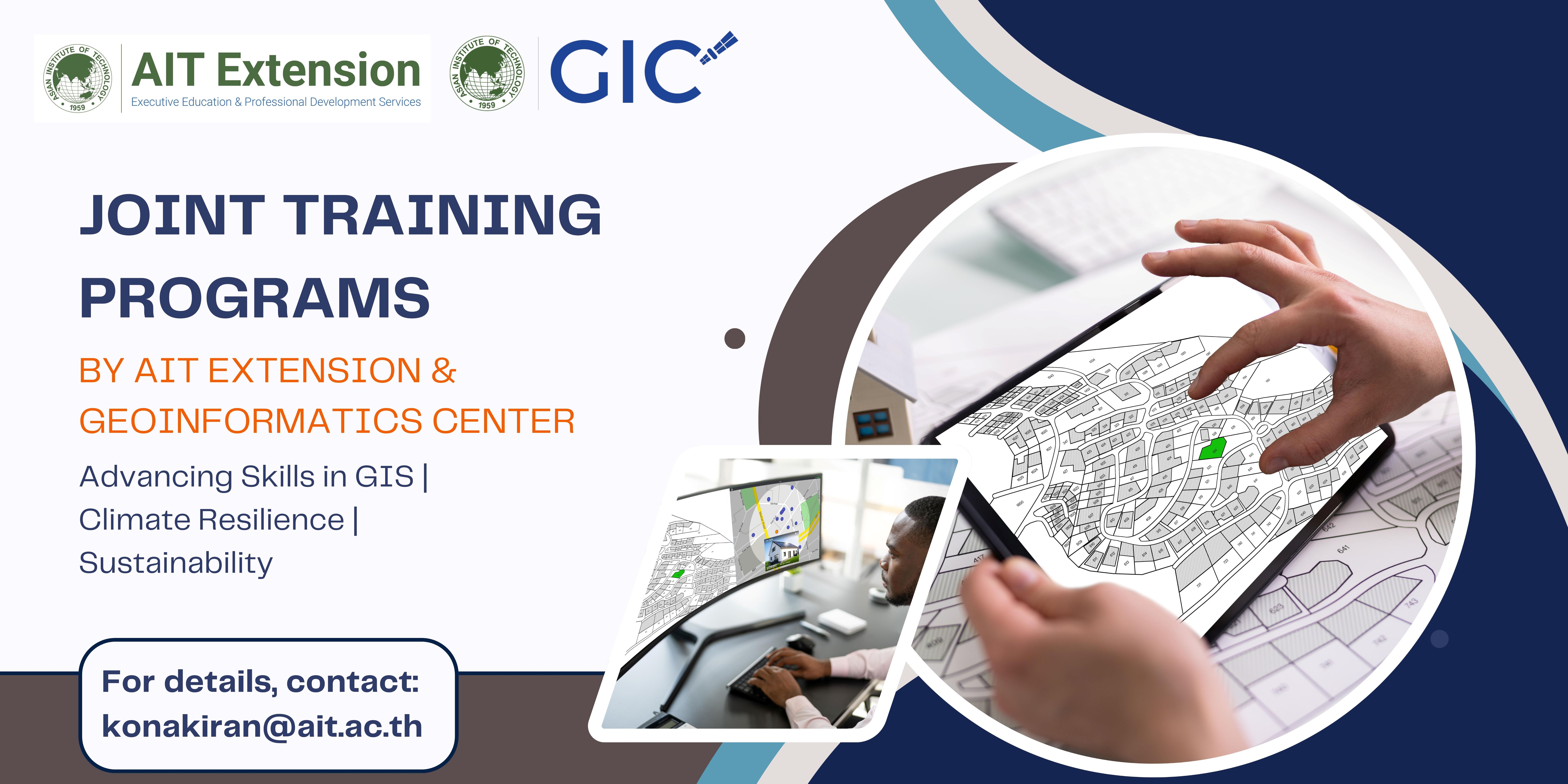
AIT Extension, in collaboration with the Geoinformatics Center (GIC) at AIT, is pleased to announce a series of joint training programs focused on the application of geospatial technologies in the fields of climate resilience, environmental monitoring, and sustainable development.
These flagship programs are designed to provide professionals with practical skills and tools to address complex, real-world challenges. The current offerings include:
- 1) ArcGIS Pro for Geospatial Data Handling and Modelling
- 2) Crop Simulation and Selection of Crops for Climate Adaptation
- 3) Natural Resource Monitoring using Google Earth Engine
- 4) Mapping and Monitoring of Solid Wastes and their Leakage using Machine Learning
- 5) Identification of Suitable Locations for Harnessing Wind and Solar Energies
- 6) Multi-Hazard Risk Assessment for Planning and Development
Each program integrates advanced tools such as GIS, remote sensing, Earth observation platforms, and AI applications in environmental and development contexts.
More detailed information on additional programs in these domains—along with program content, schedules, and registration—will be available soon
For inquiries, please contact:![]() konakiran@ait.ac.th | ushnish@ait.ac.th
konakiran@ait.ac.th | ushnish@ait.ac.th

